


Today we’d like to introduce you to Oluwatosin Michael Ibrahim.
Hi Oluwatosin Michael, please kick things off for us with an introduction to yourself and your story.
My journey into environmental and geospatial science has been shaped more by persistence than perfect conditions. I began my academic path in Nigeria, where I studied Applied Geology and developed an early interest in understanding how Earth systems directly affect people and communities.
At that stage, I didn’t always have access to the tools or resources I thought I needed, and for a while, that felt limiting. But over time, I realized that growth is less about the tools available and more about consistency, discipline, and the willingness to keep learning. That mindset shaped how I approached every opportunity moving forward.
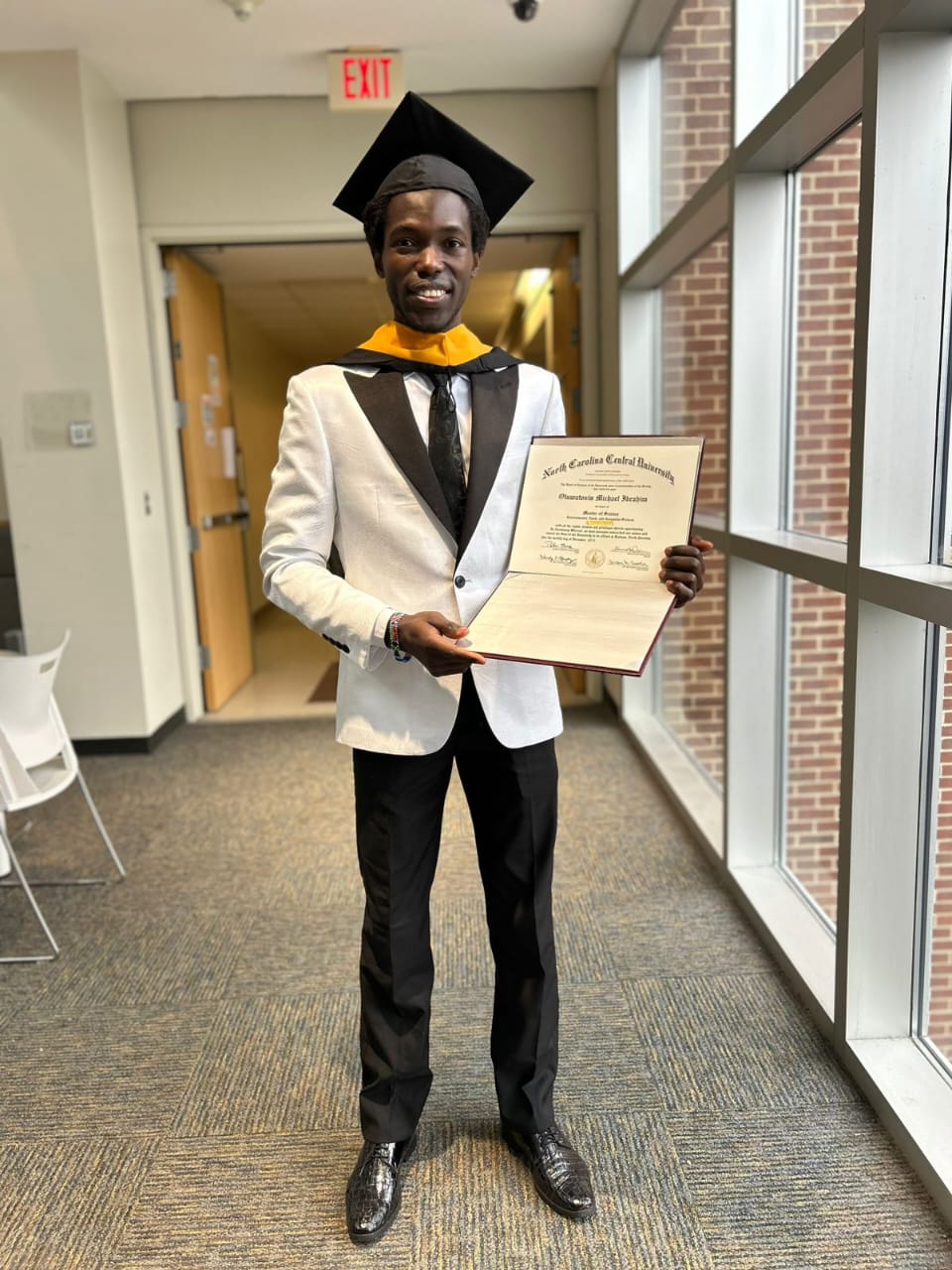
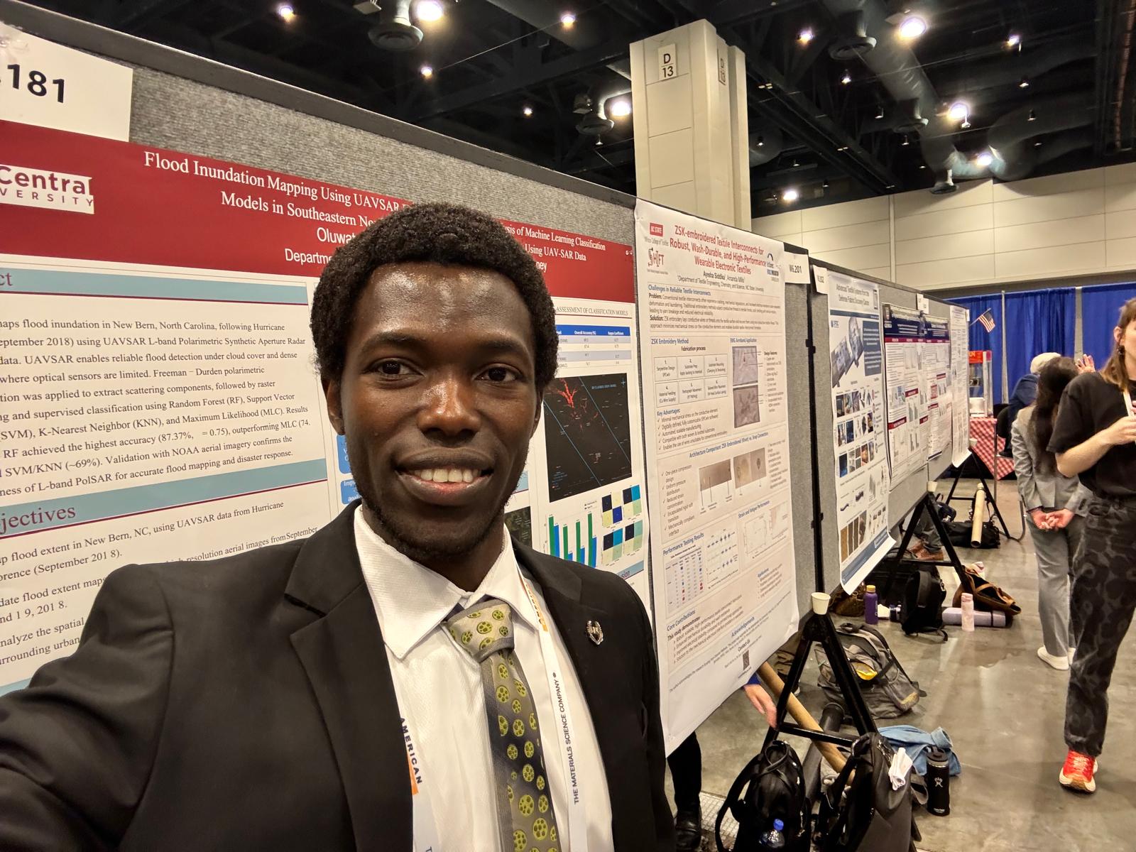
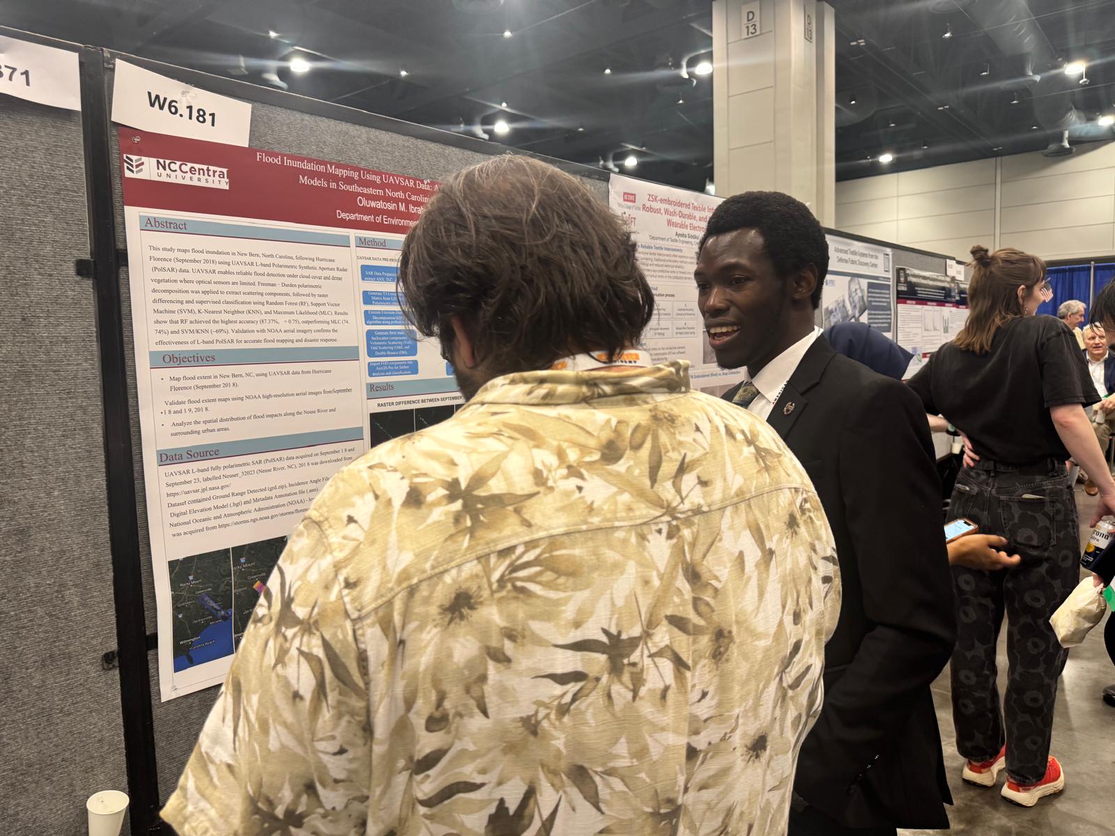
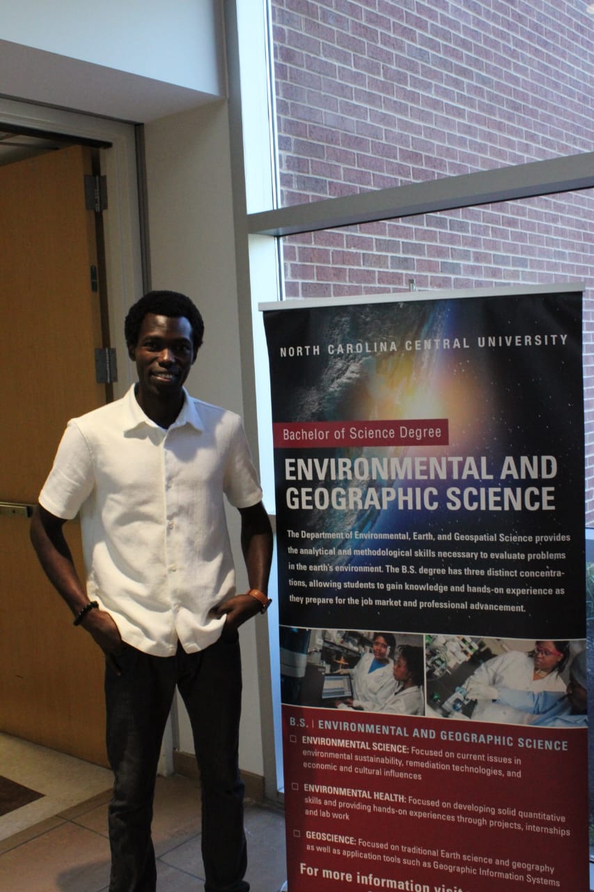
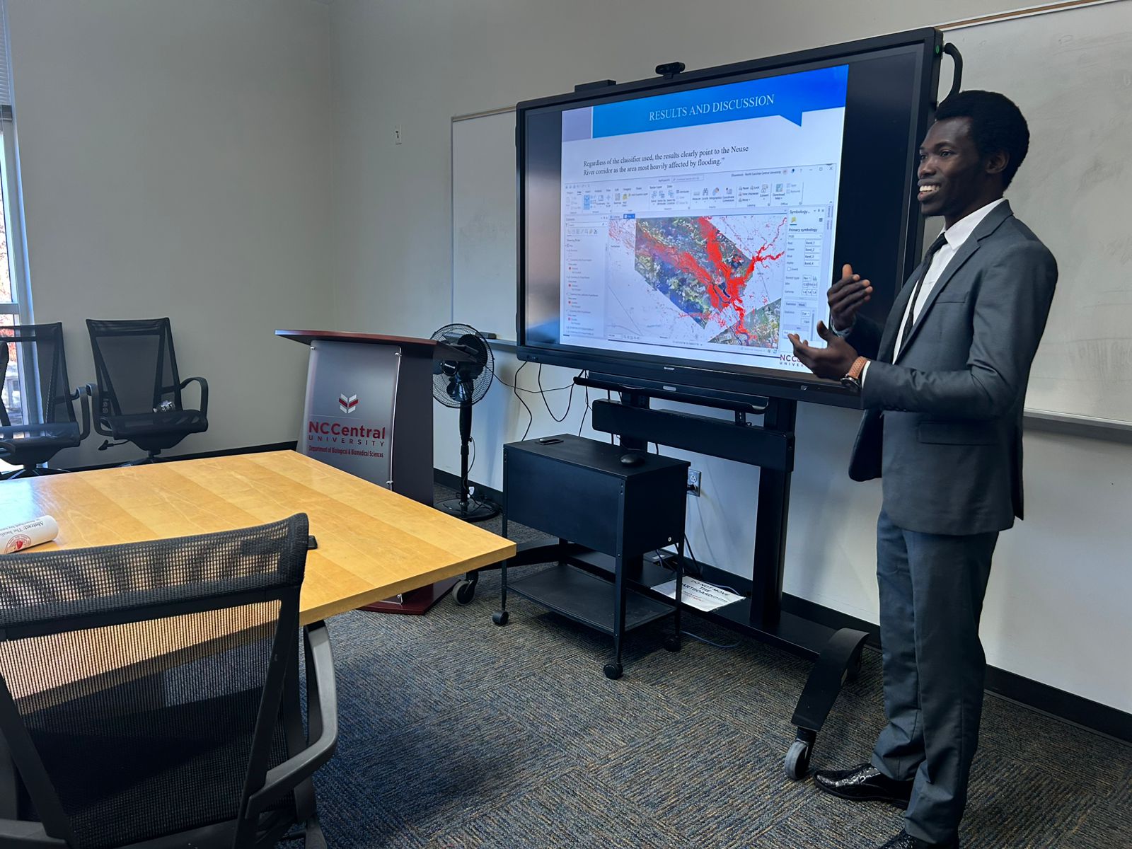
That drive eventually led me to pursue a Master’s in Environmental, Earth, and Geospatial Sciences at North Carolina Central University in the United States. There, I focused my research on flood inundation mapping using UAVSAR data and machine learning, particularly in eastern North Carolina following Hurricane Florence. My work centers on using geospatial data to better understand environmental risks and support decision-making around resilience and infrastructure.
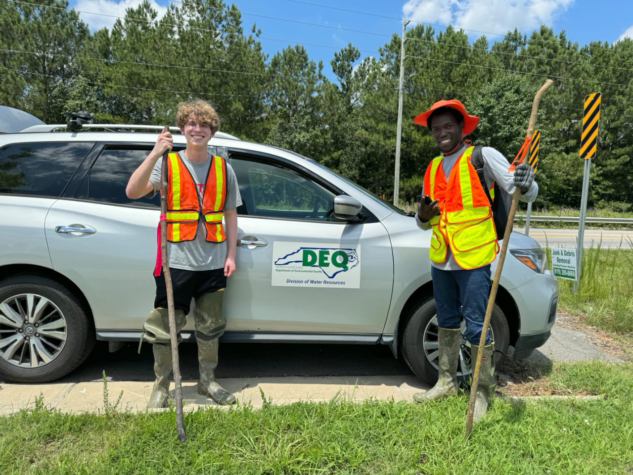
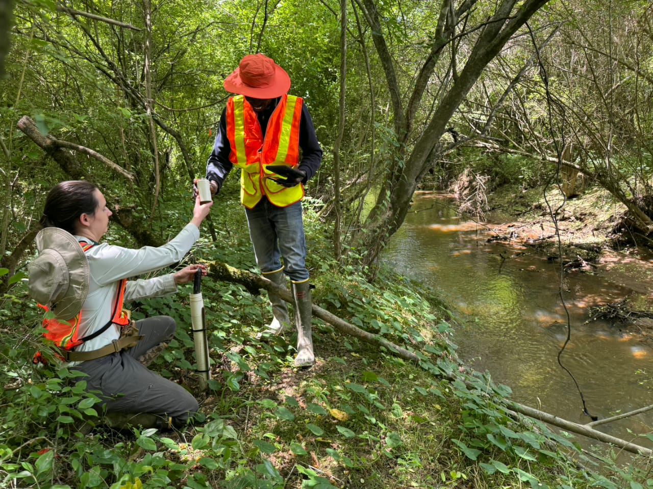
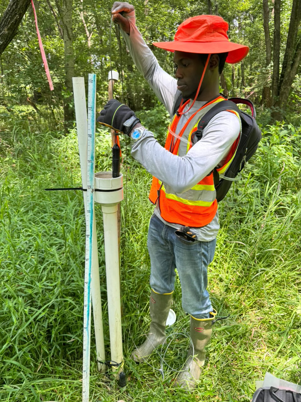
I also gained hands-on experience through my internship with the North Carolina Department of Environmental Quality, where I worked on wetland hydrology and watershed monitoring. That experience reinforced for me that the true value of data lies in how it is applied to solve real-world problems.
Today, I see my work as part of a broader effort to bridge data, environment, and decision-making using geospatial science, not just to analyze the world, but to help improve how we respond to it.
Can you talk to us a bit about the challenges and lessons you’ve learned along the way. Looking back would you say it’s been easy or smooth in retrospect?
It definitely hasn’t been a completely smooth road. One of the biggest challenges along the way was navigating my academic and professional growth with limited access to resources early on. There were moments when I felt I couldn’t fully explore my potential because I didn’t have the tools or exposure I needed at the time.
Transitioning to a more advanced academic environment in the United States also came with its own learning curve. Adapting to new systems, higher expectations, and balancing multiple responsibilities at once. At the same time, I’ve had to manage the pressures that come with building a career while supporting a growing family, which requires a lot of discipline and prioritization.
However, those challenges have shaped how I approach both work and life. They taught me resilience, consistency, and how to stay focused even when conditions are not ideal. More importantly, they helped me shift my mindset from focusing on limitations to focusing on growth and possibilities.
Looking back, I see those challenges as an essential part of my journey. They didn’t slow me down, instead they refined how I think, how I work, and how I approach opportunities.
Alright, so let’s switch gears a bit and talk business. What should we know about your work?
I am an environmental and geospatial scientist specializing in the use of remote sensing, GIS, and machine learning to address real-world environmental challenges. My work is particularly focused on flood risk assessment and understanding how environmental hazards impact infrastructure, communities, and long-term planning.
A key area I’ve focused on is the use of UAVSAR polarimetric data to improve the accuracy of flood detection, especially in complex environments where traditional approaches may fall short. By combining advanced remote sensing techniques with machine learning models, I work toward developing more reliable methods that can support risk assessment, infrastructure planning, and environmental decision-making.
My work is inspired by a strong focus on practical application and impact. I am particularly interested in how geospatial data can move beyond analysis and directly inform decisions, whether it’s supporting government agencies in flood resilience planning, improving infrastructure placement, or contributing to more data-driven policy development.
I’m particularly proud of the opportunity to apply my work in real-world contexts, especially during my time with the North Carolina Department of Environmental Quality. I worked on wetland hydrology analysis within the Walnut Creek watershed in Raleigh, where I contributed to monitoring and interpreting hydrologic conditions to support environmental management, flood-resilience planning, and data-driven decision-making.
That experience deepened my understanding of how geospatial and environmental data can directly inform practical solutions, particularly in water resources, land use, and infrastructure planning.
More broadly, I see my work as contributing to ongoing efforts to improve environmental resilience and reduce risk in the United States. By translating complex geospatial data into actionable insights, I aim to support better decision-making at both local and broader levels, ultimately helping to build more resilient and informed systems.
What do you like best about our city? What do you like least?
What I appreciate most about the city is the sense of growth and opportunity. There’s a strong mix of academic, professional, and cultural environments, which creates space for learning, collaboration, and innovation. It’s the kind of place where you can connect with people from different backgrounds and continue to evolve both personally and professionally.
If I had to point out a challenge, I would say that like many growing cities, there’s always the question of how to balance development with accessibility and infrastructure. As cities expand, ensuring that growth remains inclusive and sustainable is something I think is important.
Overall, my experience has been very positive, and being in a dynamic environment like this has contributed significantly to my growth.
Contact Info:
- LinkedIn: https://www.linkedin.com/in/oluwatosin-michael-ibrahim
- Other: https://www.researchgate.net/profile/Oluwatosin-Ibrahim-2?ev=hdr_xprf
Popular
-

Portraits of the Valley
-

LA’s Most Inspiring Stories
-

Que Johnson on Building Brands That Last: From Visibility to True Market Authority
-

Christina Wren Steps Into the Director’s Chair to Tell Stories That Feel Like Home
-
JordanL on ‘Breathe,’ Belief, and Building a Movement Beyond the Music
-
Megan Birney Rudert on How Access to Light Is Powering a More Sustainable and Equitable Future


